Morgan Moments – Morgan Station Area Photos from 1915 & 1916
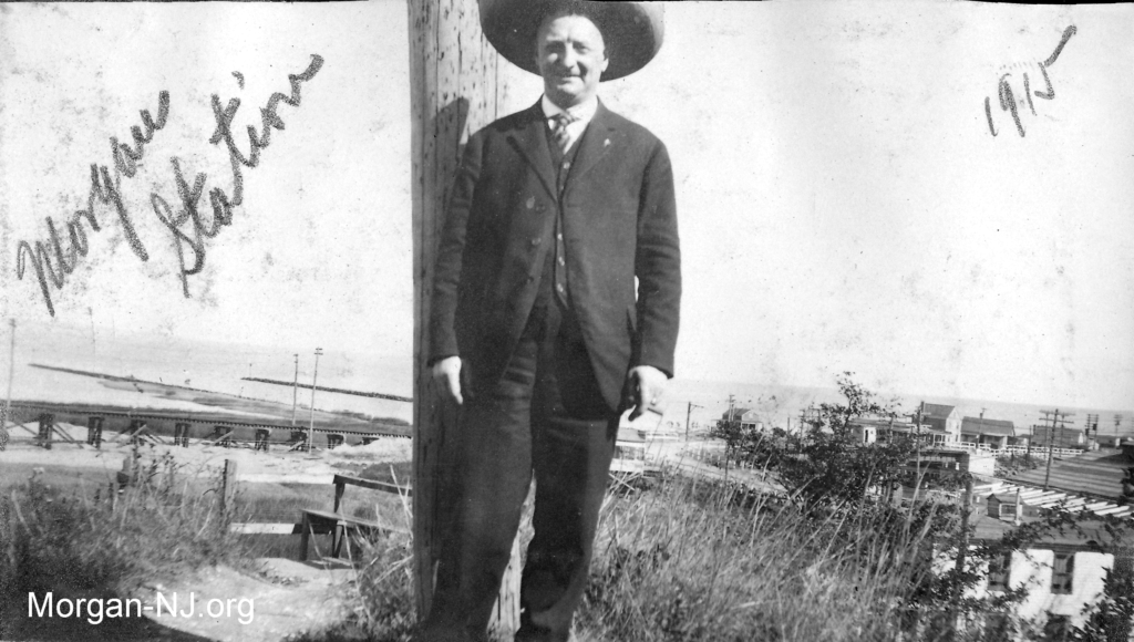
To the left of the pole can be seen the trestle for the Jersey Central Traction Company (i.e., the trolley) which transverses the original mouth of Cheesequake Creek and crosses over the New York and Long Branch Railroad, and the modified mouth of Cheesequake Creek. On the right of the pole can be seen the causeway over the 1883 dam which changed the flow of Cheesequake Creek and was the main road between northern New Jersey and the south shore of Raritan Bay and Jersey Shore, the bungalow on Morgan Beach later known as Hock’s Pavilion, other buildings along the shore road next to the new 1912 bridge over Cheesequake Creek, in the foreground is Niedermeyer’s Fish Restaurant located at the intersection of the county shore road and railroad tracks, and the roof of the Morgan Dance Hall which later became one of the production buildings for Henry Luhrs’ Sea Skiffs company.
It was very exciting to have recently acquired a number of images of “Morgan Station” from 1915 & 1916.
In 1915, “Morgan Station” referred not just to the whistle-stop train station located just north the intersection of what is now Old Spye Road and the NJ Transit tracks, but rather to the whole area in the vicinity of the station.
During the 1910s, this specific area of the world was in full bloom. Morgan Beach, already a summertime destination with a bungalow colony, was but just a few minutes walking distance from the Station over the 1913 Cheesequake Creek bridge. The 1883 Cheesequake Creek channel and jetties, as well as buildings on Morgan Beach and the Jersey Central Traction (JCT) trolley trestle, can be seen in the background of some of these photos. Morgan Heights, the area of present-day Morgan located on both sides of Route 35 and east of Tyler Street & Old Spye Road to the railroad tracks, was partly developed and was actively being marketed as a great place to build a house in the 1910s. The Jersey Central Traction trolley had a number of stops in this area of Morgan and the main road between northern New Jersey and the Jersey Shore, present-day Old Spye Road, went right through the middle of it.
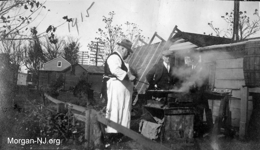
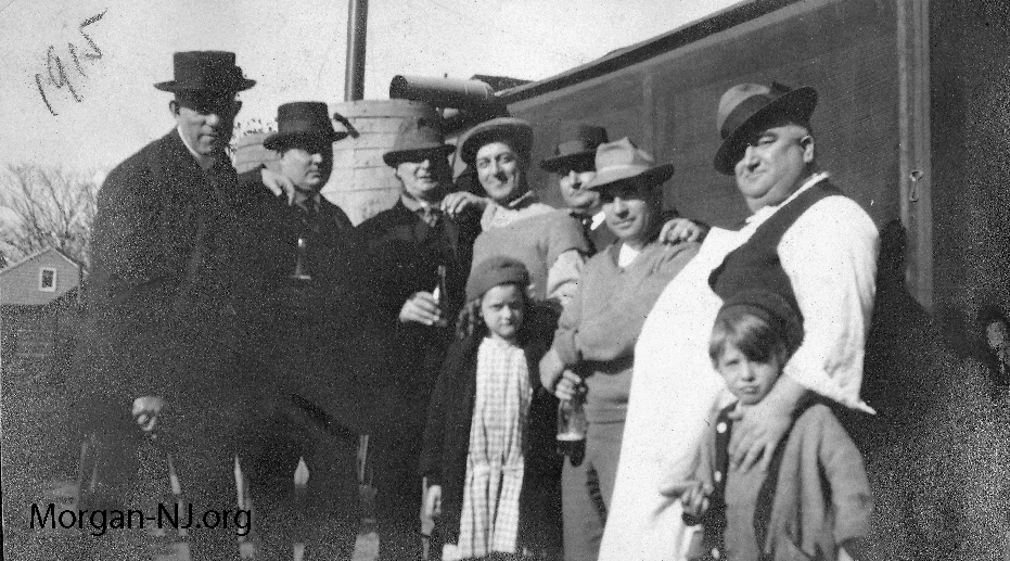
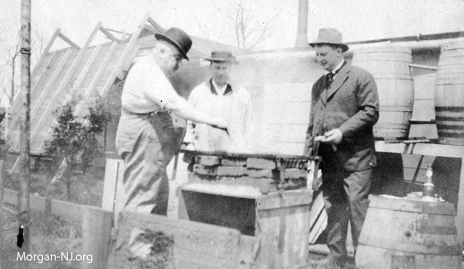
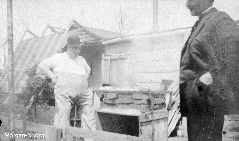
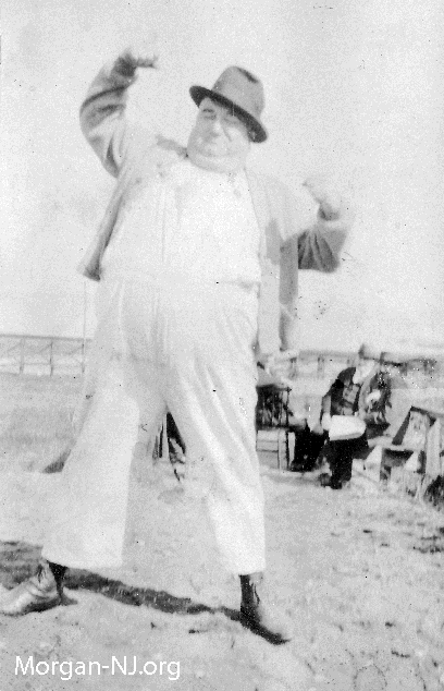
The group of photos mostly contain a group of middle-aged men who perhaps were spending part of the summers of 1915 & 1916 enjoying the atmosphere of the Morgan Station/Beach area. There is no indication of who these people are in the photos. A stout man with suspenders, dressed like Fatty Abuckle or Oliver Hardy, appears to be some sort of cook for the other period dressed men at some type of outside food stand. Near as I can tell, the outdoor cooking stove in the above photo would have been located on the side of the bungalow, located on the bluff above the railroad tracks, opposite the railroad tracks. The main feature which causes this conclusion are the tall telegraph/telephone poles in the background each of which contain a large number of glass insulators on the cross ties. These poles ran parallel with the tracks at the time.
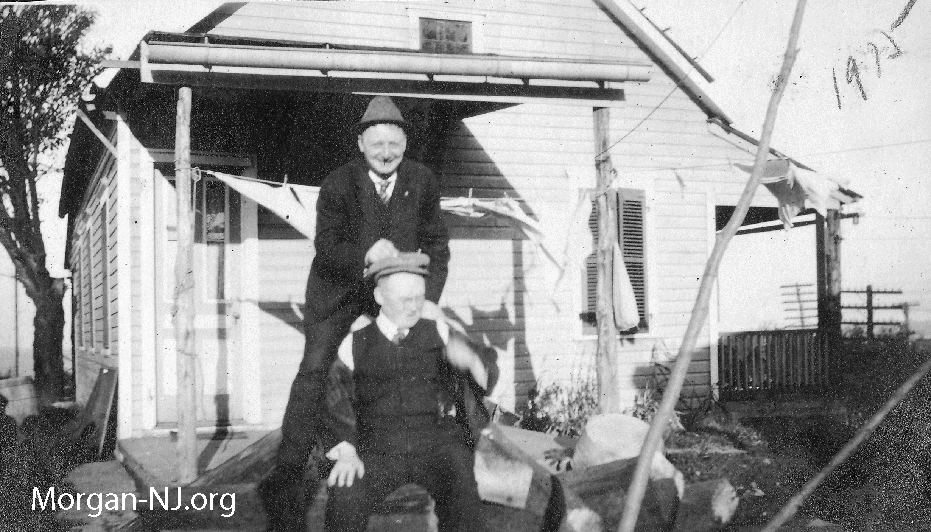
In later years, the area where this house was located would be known as Morgan Circle.
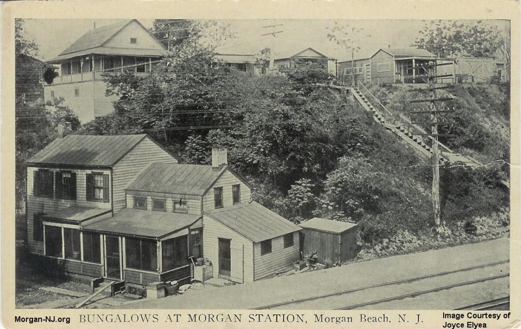
This picture-postcard image, entitled “BUNGALOWS AT MORGAN STATION, Morgan Beach, N. J.”, is from some time in the very early 1900s and shows the area around the present-day spot where Old Spye Road ends at the railroad tracks. In the left foreground is a private home that was still standing, though unoccupied, as of the mid-1970s. Behind it and above the tracks of the NY&LB RR are bungalows and a wooden staircase leading down to Morgan Station.
Was that outdoor restaurant a private bungalow with an outdoor cooking area used during the summer beach season or a year-round residence? It is difficult to tell which house was this restaurant but perhaps it is the second from the left on the bluff with the stairs coming down?
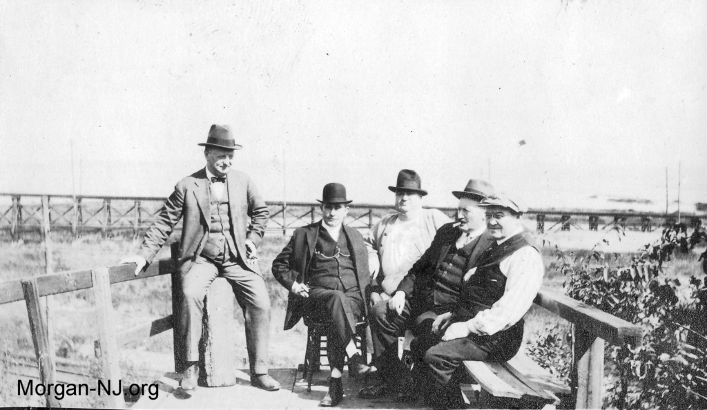
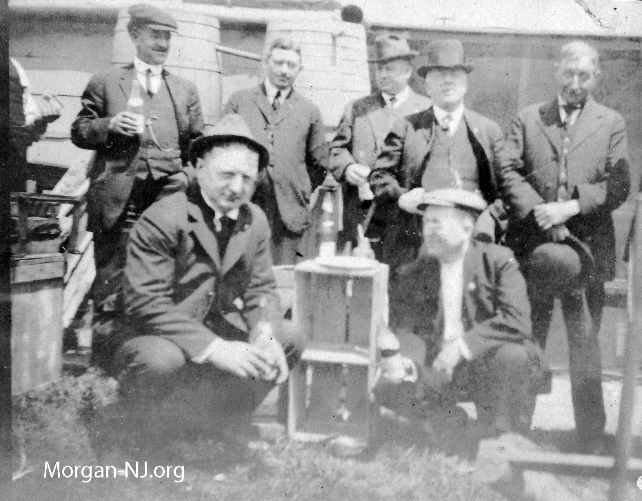
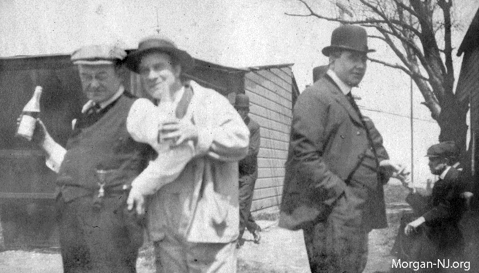
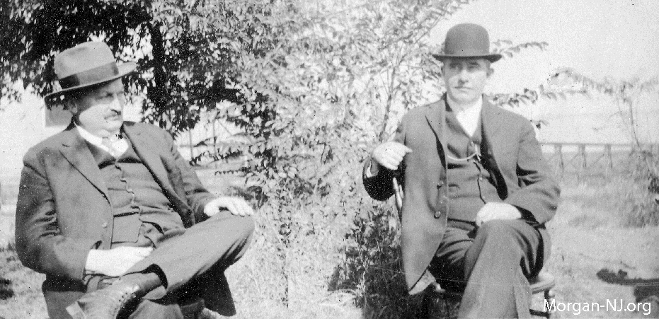
This porch overlooking the railroad tracks is likely the top portion of the wooden staircase, seen in the picture-postcard, which went from the top of the bluff (where the houses were) down to the tracks so as to be able to access “Morgan Station”. Tracks can be seen at the bottom left of the image. In the background is the Jersey Central Traction trestle. Too bad none of the images contain a trolley. The man sitting on the left is the same person in the first image. The man in the center is the same heavyset man who is cooking. The man second from the left is probably the banker from the game Monopoly.
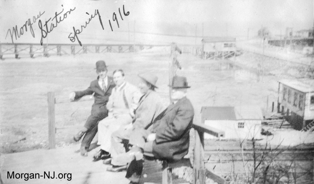
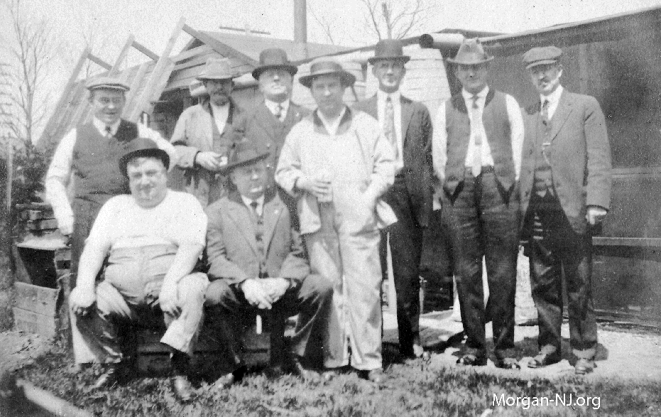
In this image, we see another group of men sitting on the porch overlooking the Morgan Station area in the spring of 1916. Notice the characteristic of the ink on the image used for the handwritten note is that of a fountain pen. Unlike today’s ballpoint pens, another modern marvel actually invented in 1888 but one which came into widespread use after World War II and one which no one seemingly ever thinks about anymore, a fountain pen uses a “nib” to dispense the internally held ink onto the paper. The ink, drawn to the nib from the internal reservoir, would feed the nib via gravity and capillary action then would spread to the width of the nib on the paper. A fountain pen is a study in itself!
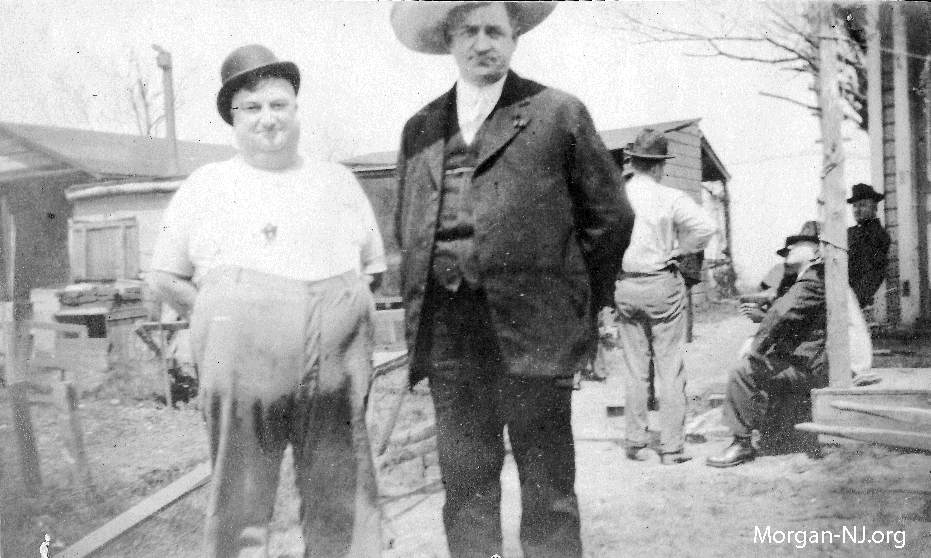
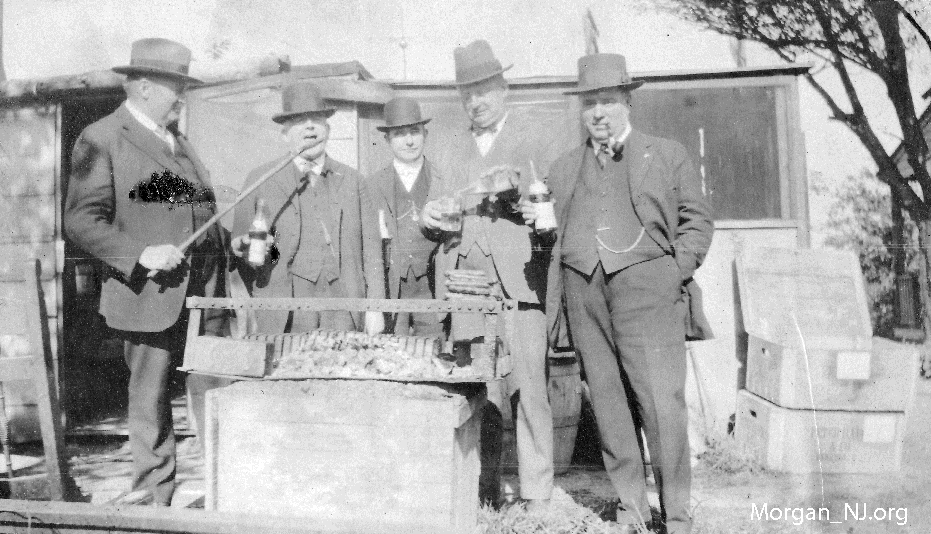
To the bottom right of this image of now long deceased unknown men is the back part of Niederman’s Restaurant.
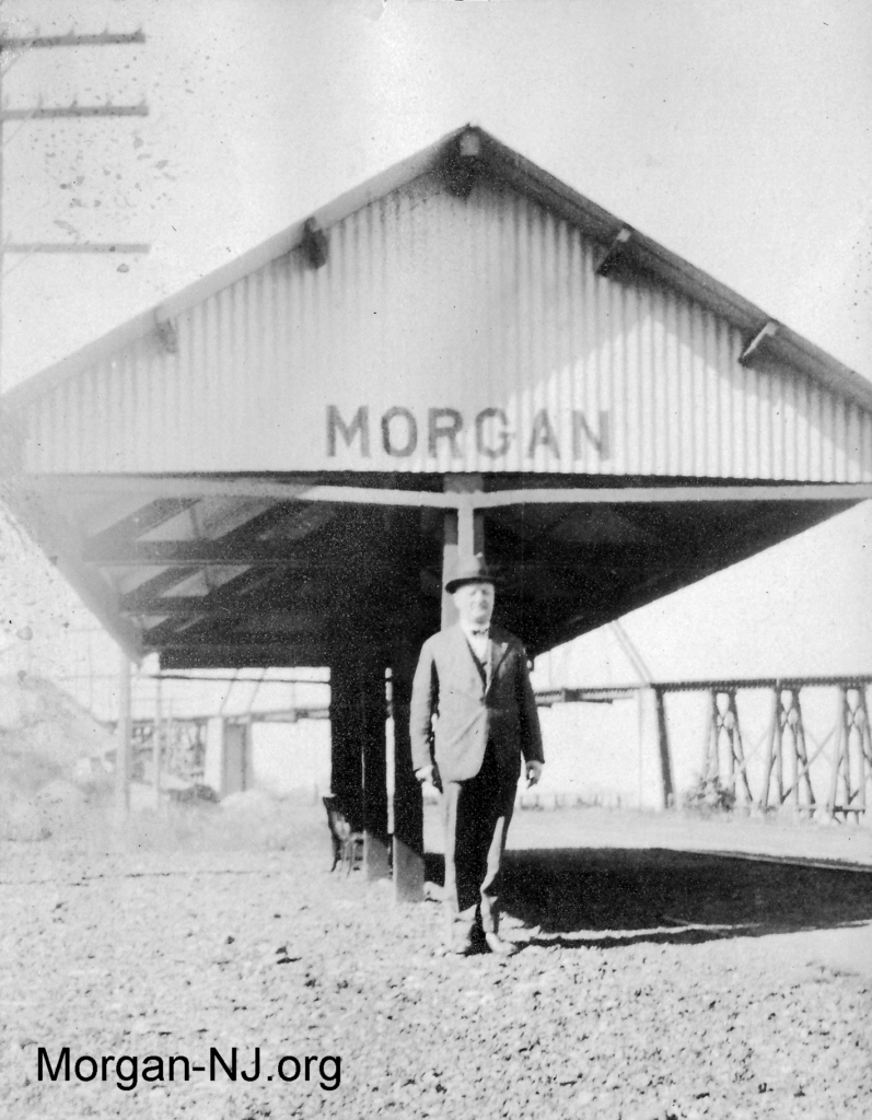
Here is what Morgan Station looked like in 1916. This station was gone by the 1960s and forgotten about soon thereafter. Those of us who grew up nearby had no notion that there EVER was a train station in Morgan – but indeed there was one for nearly a century.
At first, I wasn’t going to include all the images of Morgan Station from the album because of image quality or duplications, but subsequently thought otherwise. Here are all the rest of them without the indication of the year:
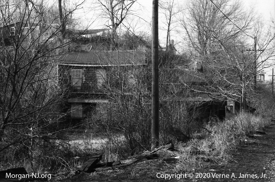
This house, while uninhabited, was still standing in the mid-1970s when this photo was taken (as an exercise for Mr. Geletei’s photography class). Now, pretty much everything seen in these photos, including the people, are long gone with only the jetties and railroad tracks remaining.
If you have any information regarding who the people in the images are or have any images or stories of when you grew up on Morgan Circle you would like to have added to this web site, please let us know. I know one of our readers in the past used to live in this house.
Originally posted on March 15, 2020.